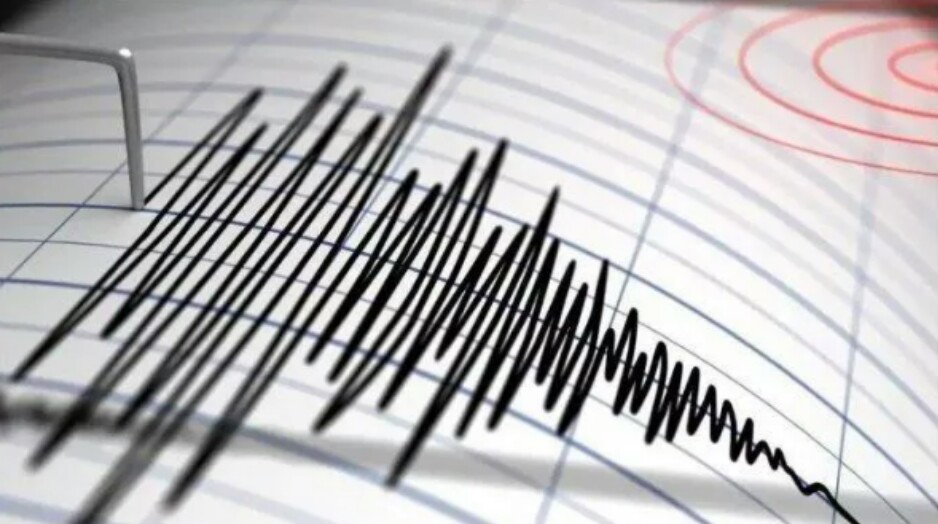
Port Vila, MINA – The country of Vanuatu, located in the Pacific Ocean, was struck by an earthquake with a magnitude of 7.4 on Tuesday at 12:53 local time.
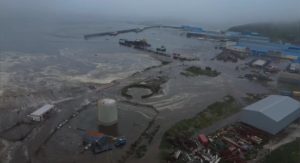
The earthquake triggered a tsunami along the coast of Vanuatu, with waves estimated to reach heights of 0.3 meters to 1 meter. A tsunami warning is also in effect for other Pacific regions, including Papua New Guinea, Fiji, and the Solomon Islands, as reported by Australian media ABC.
“The earthquake occurred at a depth of 57 km, although the Pacific Tsunami Warning Center in Hawaii reported it occurred at a depth of 10 km,” stated the United States Geological Survey (USGS).
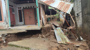
A video showed a building on the main street of the city partially collapsing and crushing vehicles below it.
Also Read: Trump Designates Saudi Arabia as Major Non-NATO Ally in Historic Defense Pact
Vanuatu is located east of Australia, northeast of New Caledonia, west of Fiji, and west of the Solomon Islands. Vanuatu consists of 83 small islands with an area of 12,189 km² and a population of 307,815 in 2020. Its capital and largest city is Port Vila.
Vanuatu is inhabited by the Melanesian people. The first Europeans to visit the islands were Fernandes de Queiros from Portugal and his Spanish fleet, which reached the area in 1606. (T/RE1/P2)
Mi’raj News Agency (MINA)
Also Read: Russia Condemns UN Gaza Resolution, Says It Contradicts Palestinian Statehood












 Mina Indonesia
 Mina Arabic