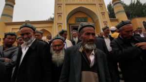
Xinjiang, MINA – The Government of the Xinjiang Autonomous Region has responded to allegations by the Australian Strategic Policy Institute (ASPI) regarding satellite imagery that sent images of several concentration camps in China’s westernmost region, which is inhabited by the majority of Uighur Muslim ethnicity.
“Some foreign ‘think tanks’ are making sensational deductions just by studying satellite imagery which is actually their way of misleading the public,” Xinjiang Autonomous Region Government spokesman Elijan Anayit told the press on Friday.
He cited one of the detention center photos, which the ASPI report entitled “Documentation of Xinjiang, Detention System”.
“This does not make sense. In fact, they are marking civilian institutions,” said Elijan.
Also Read: UN Experts Warn Right Violations in Kashmir by Indian Authorities
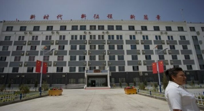
“The detention center in Turpan City which they mention in the report is a local government building. The detention center they mentioned in Kashgar is also a high school building. Those who all tagged from Google Maps, Baidu Maps, I also have them,” he said, showing some pictures that were shown complete with coordinate.
Likewise with the concentration camp building in Bachu District, which Elijan called a logistics warehouse.
“I want to emphasize that Xinjiang is an open territory and there is no need to study Xinjiang with satellite imagery. We welcome friends from abroad objectively and in an unbiased way so that they can find out all the facts in Xinjiang,” said Elijan, who was accompanied by the Deputy Chairman of the Committee. Xinjiang Chinese Communist Party (CPC) publications. (T/RE1)
Mi’raj News Agency (MINA)
Also Read: At Least Nine Children and One Woman Killed in Pakistani Airstrike on Afghanistan













 Mina Indonesia
 Mina Arabic