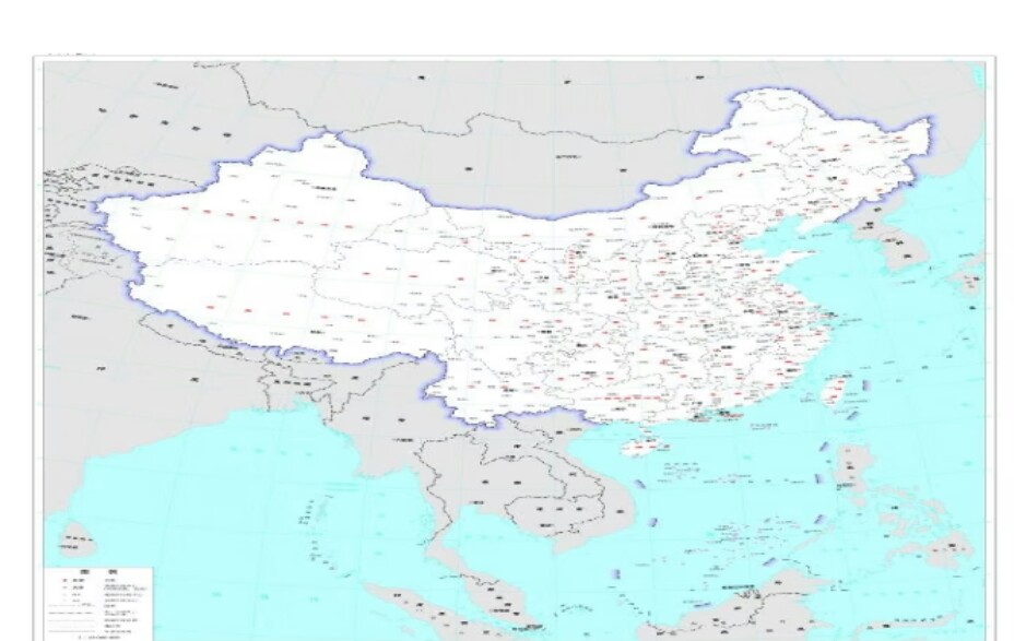
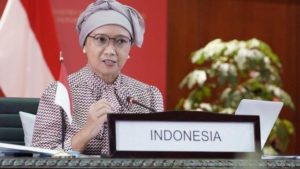
Jakarta, MINA – Indonesian Minister of Foreign Affairs Retno Marsudi responded to news about China’s latest map which includes claims to parts of the maritime exclusive economic zone (EEZ) in Malaysia near Sabah and Sarawak, Brunei, the Philippines, Indonesia and Vietnam.
Retno emphasized that Indonesia’s position is consistently based on the United Nations Convention on the Law of the Sea (UNCLOS), which was ratified in 1982.
“Indonesia’s position is not a new position, but a position that has always been conveyed consistently, namely that any line drawing, any claim, must be in accordance with UNCLOS 1982,” said Retno after a meeting at Commission I of the DPR in the MPR/DPR/ building. DPD RI, Senayan, Jakarta on Thursday.
UNCLOS is an international agreement that regulates the rights and obligations of each country regarding maritime boundaries, including exclusive economic zones and countries with coastlines have the right to search for marine products and explore energy resources.
Also Read: Pakistan, Afghanistan Agree to 48-Hour Border Ceasefire after Deadly Clashes
In UNCLOS 1982 it was stated that several water areas owned by each coastal state, including Indonesia. These water areas include inland waters, territorial seas, additional zones, EEZ, continental shelf (LK), and high seas.
The latest 2023 Edition of the Chinese Standard Map issued by the Chinese Ministry of Natural Resources claims territory in India, Malaysian waters, and near Indonesia.
Previously, Chinese Foreign Ministry spokesperson Wang Wenbin asked other countries not to overreact regarding this Standard Map.
“We hope that the relevant parties can remain objective and calm, and refrain from over-interpreting this issue,” he said.
Also Read: Greta Thunberg Describes Five Days of Abuse in Israeli Custody
From the new map visible, there is still a nine dash line that claims several waters in the South China Sea. The line claims waters recognized as the territory of Malaysia, the Philippines, Vietnam and Taiwan. (T/RE1/P2)
Mi’raj News Agency (MINA)
Also Read: Trump Announces Start of Phase Two in Gaza Ceasefire Deal










 Mina Indonesia
 Mina Arabic