Jakarta, 28 Syawwal 1437/02 August 2016 (MINA) – For two months last year, a smoky plume shrouded half the globe, stretching from East Africa to the international dateline in the western Pacific Ocean, nationalgeographic.com reported on Tuesday.
The billowing smoke emanated from Indonesia, which wheezed its way through its worst fire season in more than 15 years.
The smoky girdle—detected by NASA satellites—was emblematic of a phenomenon with wide-reaching climate and health impacts, according to new research published in the Proceedings of the National Academy of Sciences.
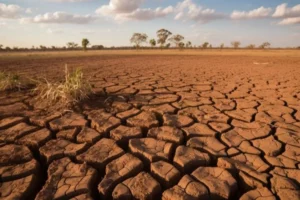
Dry-season burning is commonplace in Indonesia: It remains the cheapest and most effective way to clear agricultural and logging waste. However, in exceptionally dry years—such as 2015, which was driven by El Niño conditions—this burning can threaten the extensive peat deposits underlying Indonesian lowlands.
Also Read: Rally of 1,000 Indonesian Volunteers Held to Support Gaza Reconstruction
“When it is dry enough, fires lit on the surface will escape underground,” says Robert Field, a climate scientist and the study’s lead author. “And they have an inexhaustible supply of fuel until the monsoon comes back.”
Peat deposits store a significant amount of carbon, and when they burn, the emissions can rival the annual carbon emissions of many nations.
The authors estimate that the 2015 fires emitted roughly 1.5 billion metric tons of CO2 into the atmosphere. That amount is more than Japan’s total 2013 fossil fuel emissions, but less than India’s.
In addition to belching carbon into the atmosphere, the fires create a public health danger both within and outside Indonesia.
Also Read: Indonesia’s Rizky Ridho Surpasses Barcelona Star in FIFA Puskas Award Voting
Millions of people in Indonesia were exposed to the hazardous air quality, and prevailing winds carried the smoke into neighboring Singapore and Malaysia.
Dirty Air Days
According to Miriam Marlier, a land-use scientist who was not involved with the study, peat fires discharge fine particulate matter into the air.
When that particulate matter makes its way into peoples’ lungs, it can have serious health consequences.
Given the significant environmental and health effects of the fire, there would seem to be ample incentive to reduce the practice of burning. However, a path forward is not so simple, says Marlier.
Also Read: Ground Movement Hits Central Java: Residents Evacuate, Dozens of Homes Damaged
Land use in rural Indonesia is complex and unorganized, a mosaic of industrial concessions and small-scale farming and logging operations.
No matter the size of the holding, fire still remains the cheapest and most effective way to clear land. Even armed with information, she believes people will continue to burn until they are presented with an economically feasible alternative.
Preventing Future Fires
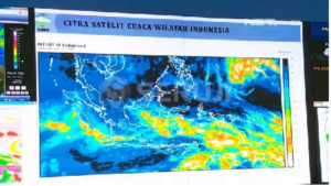
Satellites provide an important source of data for studying the Indonesian fire problem. Unlike North America, which relies on both on-the-ground and satellite information to gather fire data, Indonesia depends wholly on satellite observations.
The researchers looked at data collected from NASA’s Earth Observing System satellites, which have data dating back to the early 2000s. They supplemented the satellite data with longer-term airport records of visibility, which would be affected by haze from fires.
Also Read: Indonesia Reaffirms Full Support for Palestinian Independence Before Jordan’s King
These data revealed the long-stretching plume, but it also exposed some important trends for fighting fire in the future.
Looking at a 15-year period that included two major fire seasons—2006 and 2015—the researchers found that when average dry-season precipitation is greater than six millimeters per day, there is little fire activity or pollution. As precipitation decreases, fire activity increases until a threshold at four millimeters per day. Beyond the threshold, both fire and pollution increase rapidly.
Knowing that El Niño can create dry conditions, Field hopes the trends they uncovered can help Indonesia prevent future conflagrations where burning fields transform into underground infernos.
“For all intents and purposes, these fires are all human-caused and are all unintentional,” he says.
Also Read: Majenang Landslide: 21 Missing in Central Java
“It’s a solvable problem.” (T/R07/R01)
Mi’raj Islamic News Agency (MINA)
Also Read: BPOM Sets MURI Record for Producing 810 Reference Standard Compounds









 Mina Indonesia
 Mina Arabic