







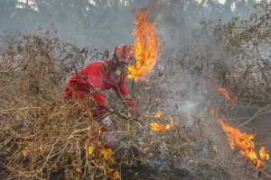
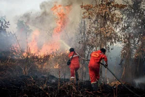
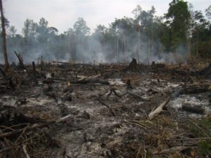
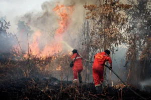
Jakarta, MINA – The National Disaster Management Agency (BNPB) has reported that 2,110 hotspots for forest and land fires (karhutla) were detected in Central Kalimantan (Kalteng) as of August 25, 2026.
“In Central Kalimantan, we found 2,110 hotspots while fire spots amounted to 55 points,” said Acting Head of the BNPB Disaster Data, Information, and Communications Center, Berton SP Panjaitan on Wednesday.
This figure is based on BNPB reports from August 25, 2026, covering the period from 00:00 to 23:59 WIB.
Furthermore, Berton stated that the indication of burned land area in Central Kalimantan has reached more than 7,634 hectares. However, visibility remains categorized as normal.
Read Also: Indonesia Bans Israel Houghton Concert Over Palestine Stance
“Visibility is normal, above 10 kilometers,” he said.
Several ground operations have been conducted in Central Kalimantan, focusing on extinguishing fires, limiting fire spread, and cooling efforts. However, fires in several locations such as Katingan, Murung Raya, and Lamandau have not yet been extinguished.
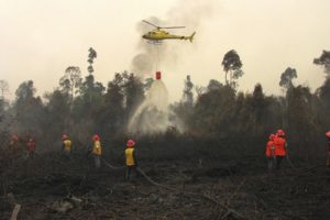
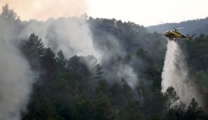
Fire control and management efforts are also being carried out through aerial operations. BNPB reported two air patrol operations and five water bombing operations using helicopters in Central Kalimantan.
In total, 4.6 million liters of water have been deployed in water bombing operations targeting fire points.
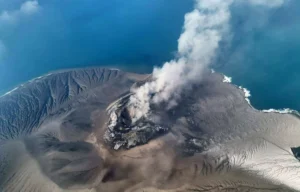
Read Also: Indonesia’s Anak Krakatau Erupts Twice, Volcanic Ash Moves Northwest
“These 4.6 million liters were conducted through several sorties in six priority provinces: West Kalimantan, Central Kalimantan, South Kalimantan, South Sumatra, Jambi, and Riau,” Berton explained.[]
Mi’raj News Agency (MINA)
Read Also: PBNU Makes 2026 Santri Day a Momentum for Palestine Solidarity














![Security forces take measures as protesters gather outside Woolwich Crown Court to show support for a group known as the “Filton 24,” whose trial is ongoing over a protest at an Israeli defense company’s facility in Bristol in 2024 in London, United Kingdom on June 12, 2026. [Aysu Biçer – Anadolu Agency]](https://en.minanews.net/wp-content/uploads/2026/06/Screenshot_2026-06-13-17-48-18-76_40deb401b9ffe8e1df2f1cc5ba480b12-300x194.jpg)


 Mina Indonesia
 Mina Arabic
 Mina Sport